Government Grants
Business Grants
Home Owner Programs
Federal Programs
About Us
Paleoflood Hydrology of the Colorado River System, Implications for Climate Change
Climate models vary in estimating the specific magnitude and spatial variation of anthropogenic climate change; however, considerable agreement exists amongst all models that hydrologic changes will be paramount in semi-arid regions of southwestern North America [Seager, 2007].
Limited knowledge
exists regarding the characteristics of extreme flood regimes and how they relate to climate change.
Our understanding of flood hazard is based upon flood magnitude-frequency curves derived from short gaged and historical records, limiting our knowledge of the risks associated with extreme flooding and how extreme floods will vary in magnitude and/or frequency with future climate change.
In the southwestern U.S., the gaged and historical record rarely exceeds one hundred years; therefore, large floods are statistically under-represented (Thornycraft et al., 2003).
Paleoflood studies produce flood chronologies that can be used to extend the record of extreme floods over hundreds to thousands of years, thereby improving flood-frequency analysis (e.g.
Benito and Thornycraft, 2005; Harden, et al., 2015) and maximum flood discharge-drainage area relationships (Enzel et al., 1993).
Subsequently, this improves overall flood hazard evaluations (House et al., 2002).
The project will utilize paleoflood information to improve flood frequency relationships and to research the best methods to increase understanding of the relationship between extreme floods and climate change in the Upper Colorado River Basin.
Methods including paleoflood field studies, geochronology lab analysis and flood frequency analysis will be used during the course of this research.
Who's Eligible
Obtain Full Opportunity Text:
Not Available
Additional Information of Eligibility:
University of Arizona
Full Opportunity Web Address:
Contact:
Michael DieterichGrants Management SpecialistPhone 303-445-2484
Agency Email Description:
Grants Management Specialist
Agency Email:
mdieterich@usbr.gov
Date Posted:
2015-12-14
Application Due Date:
2015-12-29
Archive Date:
2015-12-30
Social Entrepreneurship
Spotlight
Building a Million Dollar Company Where Everyone Counts
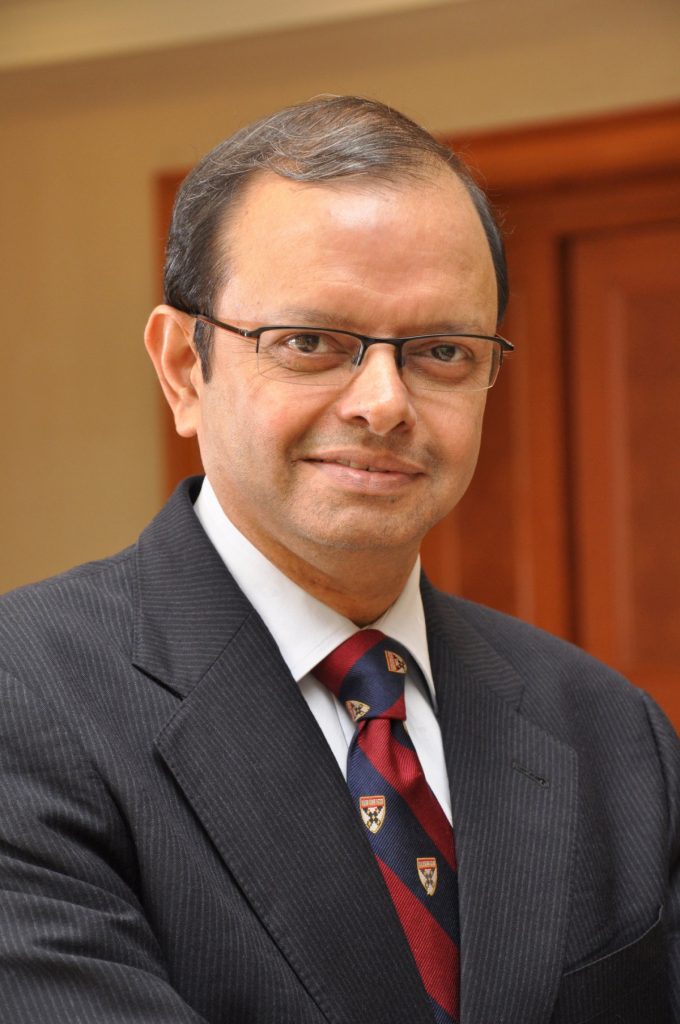
Ganesh Natarajan is the Founder and Chairman of 5FWorld, a new platform for funding and developing start-ups, social enterprises and the skills eco-system in India. In the past two decades, he has built two of India’s high-growth software services companies – Aptech and Zensar – almost from scratch to global success.
Learn How to Identify and Avoid Grant Scams
