Government Grants
Business Grants
Home Owner Programs
Federal Programs
About Us
Notice of Intent: USGS Great Lakes Geologic Quaternary Mapping in IN, FY2018-19
Notice of Intent to award a cooperative agreement to the Indiana Geological and Water Survey, under the auspices of Indiana University, for the project entitled " USGS Great Lakes Geologic Quaternary Mapping in IN, FY2018-19".
The main objective of the project is to complete preliminary
1:24,000-scale surficial geologic maps of the Cope and Mooresville East 7. 5-minute quadrangles, Morgan County, Indiana.
In addition, a digital three-dimensional framework stratigraphy of glacial deposits in Northern Indiana, focusing on the Lagrange 7. 5-minute quadrangle, will be constructed.
The Indiana Geological and Water Survey is uniquely qualified to perform these objectives as a member of the Great Lakes Geologic Mapping Coalition.
The main objective of the project is to complete preliminary

1:24,000-scale surficial geologic maps of the Cope and Mooresville East 7. 5-minute quadrangles, Morgan County, Indiana.
In addition, a digital three-dimensional framework stratigraphy of glacial deposits in Northern Indiana, focusing on the Lagrange 7. 5-minute quadrangle, will be constructed.
The Indiana Geological and Water Survey is uniquely qualified to perform these objectives as a member of the Great Lakes Geologic Mapping Coalition.
Who's Eligible
Relevant Nonprofit Program Categories
Obtain Full Opportunity Text:
http://grants.nih.gov/grants/guide/pa-files/PA-09-081.html
Additional Information of Eligibility:
Eligible applicants are limited to those jurisdictions sampled by the RAND Corporation in a national probability sample.
Please see the full funding opportunity announcement (FOA) for further detail.
Full Opportunity Web Address:
http://grants.nih.gov/grants/guide/pa-files/PA-09-081.html
Contact:
Agency Email Description:
Grant Specialist
Agency Email:
Date Posted:
2018-07-10
Application Due Date:
Archive Date:
2018-08-23
Social Entrepreneurship
Spotlight
Building a Million Dollar Company Where Everyone Counts
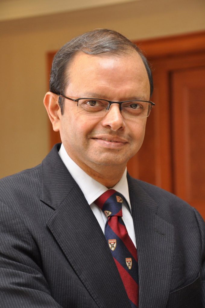
Ganesh Natarajan is the Founder and Chairman of 5FWorld, a new platform for funding and developing start-ups, social enterprises and the skills eco-system in India. In the past two decades, he has built two of India’s high-growth software services companies – Aptech and Zensar – almost from scratch to global success.
Learn How to Identify and Avoid Grant Scams
